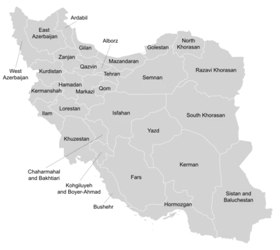
Tehran province
Iran's most populous and economically dominant province.

Mostafameraji · CC0
Tehran province is one of the 31 provinces of Iran, with its capital being the city of Tehran, which also serves as the national capital. It is the most densely populated region of Iran, with over 12 million inhabitants, and is the country's commercial and industrial heart, contributing approximately 29% of Iran's gross domestic product.
- capital
- Tehran
- country
- Iran
- largest_city
- Tehran (population 8 million)
Lore & Background
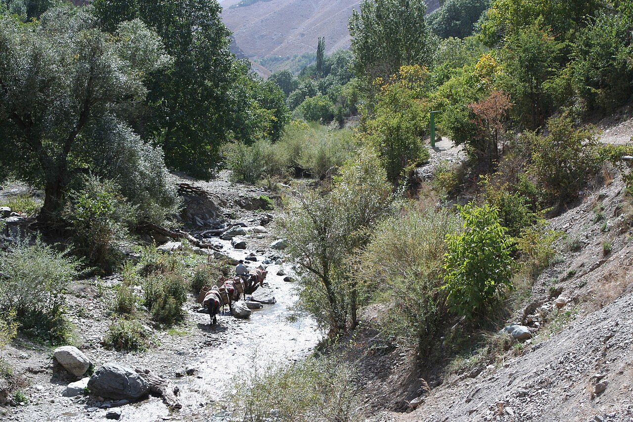
The province's location on the southern slopes of the Alborz Mountains gives it diverse topography, from high mountains to descending plains, creating a varied climate from cool alpine to semi-arid lowlands.
Reader's Guide
Tehran province is significant as Iran's most industrialized and populous region, housing about 18% of the country's population and 30% of its economy. The province's three hydrodams (Latiyan, Lar, and Amir Kabir) and natural lakes supply water to Tehran. Its northern mountains, with heavy snowfall, support popular ski resorts like Dizin, Shemshak, and Tochal. Ethnically, the population is diverse, with Persians, Azerbaijanis, Mazanderanis, Kurds, Lurs, Gilaks, Armenians, and refugees from Afghanistan and Iraq.
Did You Know?
- The oldest archeological sites in the province are in Firuzkuh County, dating back to the fourth millennium BCE.
- The province's largest rivers are the Karaj River and Jajrood River.
Governance & Administrative Hierarchy
Iran's territorial framework rests on thirty-one provinces, the nation's primary administrative units. Each province operates from a designated local center—typically its most populous city—referred to as the provincial capital, or Markaz in Persian. At the helm of each province sits a governor-general, known as an Ostândâr, whose appointment follows a specific chain of authority: the Minister of the Interior nominates the candidate, and the full cabinet must grant its approval before the individual assumes office. Beneath the provincial level, the administrative tree branches further into counties, districts (bakhsh), and ultimately villages, creating a layered hierarchy that channels governance from the national capital down to the smallest settlement. This structure ensures that even remote communities remain connected to a formal chain of local authority, while the provincial governor-general serves as the principal link between Tehran's central government and the day-to-day administration of each region.
From Feudal Patchwork to Modern Provinces
Before the twentieth century, Iran's internal divisions traced back to the Safavid centralization of the sixteenth century, a feudal patchwork of eyalats and velayats whose boundaries shifted with each new ruler. On the eve of the 1905 Constitutional Revolution, the country consisted of Tehran under direct monarchical control, four eyalats administered by Qajar princes, and numerous velayats, while nomadic confederations like the Bakhtiari and Qashqai operated with considerable autonomy outside these formal structures. The 1907 law passed by the first National Consultative Assembly locked these boundaries in place, prohibiting any alteration without legislative action. A 1911 electoral statute then enumerated twenty-seven subdivisions—Tehran's region, four eyalats, and twenty-two velayats—for parliamentary representation. In 1937 the entire system was overhauled into ten numbered provinces, and between 1960 and 1981 those governorates were progressively elevated to full provincial rank. More recently, Khorasan was divided into three provinces in 2004, and Alborz was carved out of Tehran province in 2010.
The Safavid Blueprint: A Dual Administrative System
A document compiled around 1725, the Tadhkirat Al-Muluk, offers a detailed snapshot of how the Safavid state organized its vast territory. At the top of the provincial hierarchy stood four territories overseen by Valis—Arabistan, Luristan, Georgia, and Kurdistan—each representing a major regional bloc. Below them, thirteen provinces fell under the command of Beglarbegis, a rank covering areas from Azarbayjan (also called Tabriz Province) and Qarabagh-Ganja in the northwest, through Mashhad, Marv, and Herat in the east, to Kirman, Qazvin, and Hamadan in the interior. A distinct tier of administration governed the capital region of Isfahan and its surrounding districts, along with Yazd, Mazandaran, Gilan, Saveh, Shiraz, and portions of Persian Iraq. These areas were managed by the Khāssa, the central royal branch of government, in deliberate contrast to the provincial Mamālik apparatus. This dual structure—central versus provincial authority—reflected the Safavid strategy of keeping strategically important regions under direct royal control while delegating peripheral territories to appointed military governors.
Contested Borders & Uneven Prosperity
Iran's modern borders have remained stable since the Treaty of Paris in 1857, yet the question of provincial boundaries has never been entirely settled. Bahrain, long regarded by Iran as its fourteenth province, was placed under Pars governorship before 1957 and had earlier been subordinate to Bushehr during the Safavid period, with Zubarah in present-day Qatar serving as its capital. The Afsharid rulers reaffirmed Bahrain's attachment to Pars in 1737, and after the 1979 revolution the new theocratic leadership revived the claim, most dramatically during the 1981 coup attempt. Bahrain itself remained under British colonial occupation until 1971. Domestically, economic inequality across provinces is stark. Between 2017 and 2019, eleven of the twenty poorest cities in the country were located in Sistan and Baluchestan, with three additional markedly poor cities in Kerman. This concentration of deprivation in the southeastern provinces stands in sharp contrast to the wealth of the capital region, underscoring how provincial identity and geography continue to shape Iran's internal economic landscape.
Gallery
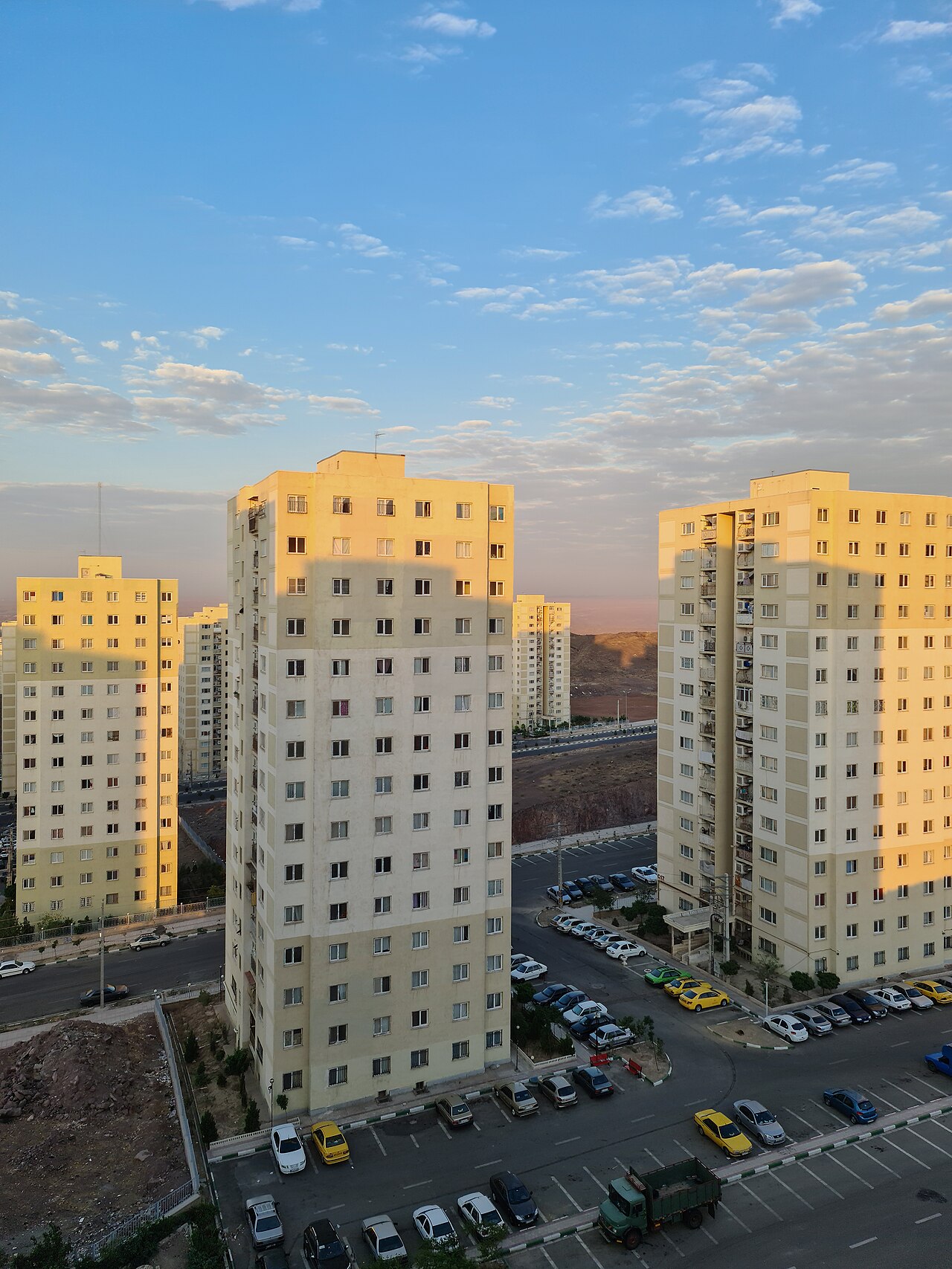
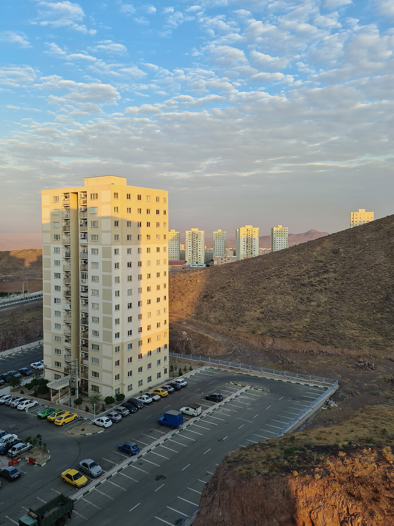
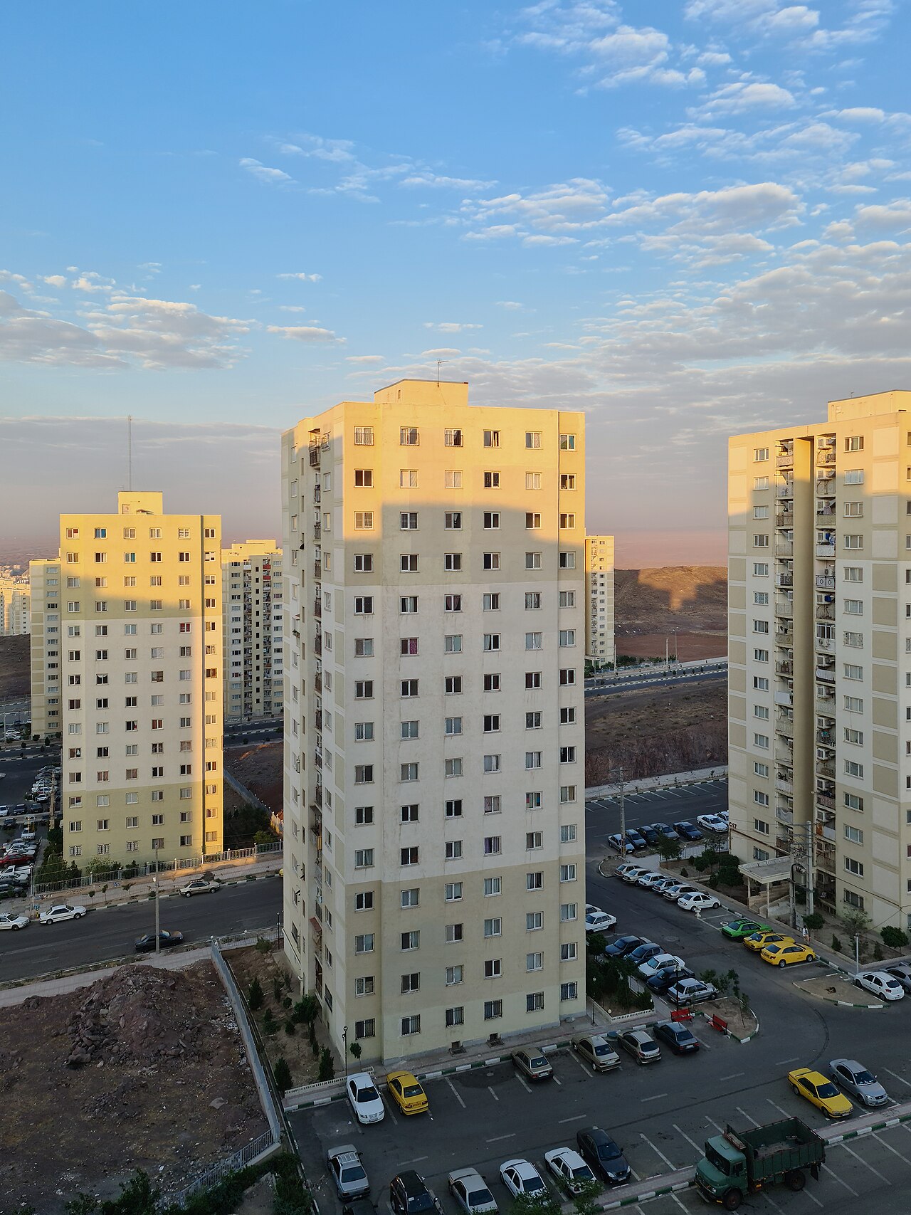
Frequently Asked Questions
What is Tehran province's economic role?
The province produces close to 29% of Iran's total GDP, functioning as the nation's commercial and industrial engine. No other single province comes anywhere near that share of national output.
Why is Tehran province considered the most important province in Iran?
It combines the highest population, the largest share of GDP, and the status of housing the national capital into a single province. No other province matches that concentration of demographic, economic, and political weight.
Elsewhere in the Provinces Of Iran universe
Spotted an error? Know more?
This is a living reference — every entry is fact-audited, and reader corrections feed straight into our audit queue. Suggest an edit · See this site's audit record